
Capture without
the capital.
Rent professional 3D laser scanners, mobile LiDAR systems, spatial cameras, metrology equipment and aerial capture technology from True Point Precision for short-term projects, overflow capacity, evaluation and try-before-you-buy workflows.
Use the right tool
for the project.
Choose the equipment that best fits the job, then use the rental button to send your project dates and requirements directly to True Point Precision. Rental availability changes as equipment moves between projects.

XGRIDS PortalCam
Rent PortalCam for photorealistic spatial capture, 3D Gaussian Splatting workflows, site documentation and immersive project visualization.
Rent PortalCam →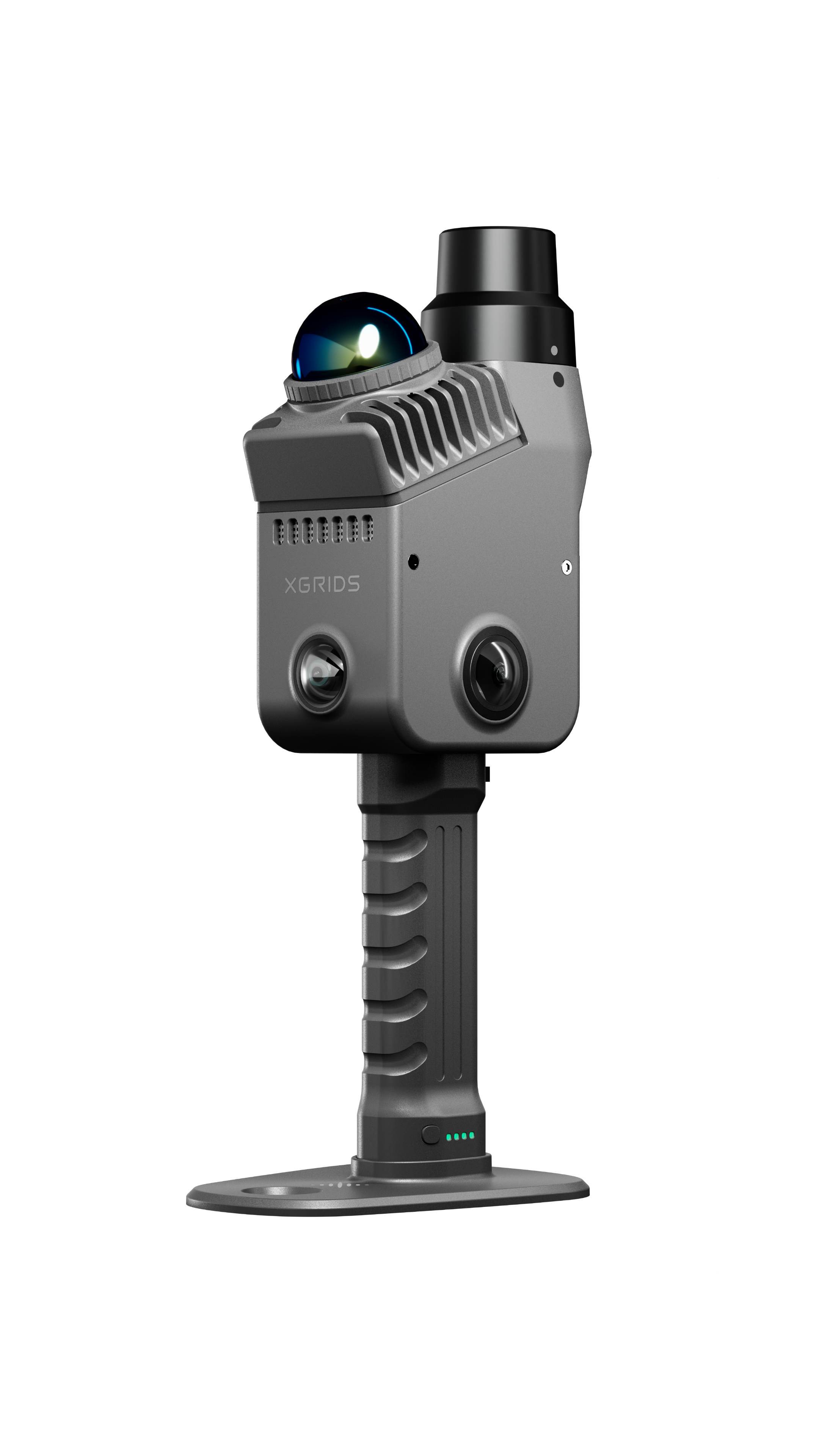
XGRIDS Lixel K2
Rent the lightweight Lixel K2 for rapid mobile LiDAR capture across buildings, construction sites, facilities and other existing-condition workflows.
Rent Lixel K2 →
XGRIDS Lixel L2 Pro
Rent L2 Pro for larger-scale mobile LiDAR projects requiring longer-range capture, high productivity and flexible handheld deployment.
Rent L2 Pro →
Leica RTC360
Rent the Leica RTC360 for high-quality terrestrial laser scanning, detailed existing conditions, Scan-to-BIM and demanding survey-grade capture workflows.
Rent RTC360 →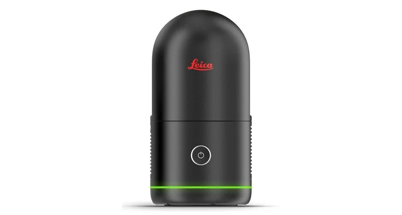
Leica BLK360 G2
Rent the compact BLK360 G2 for portable static laser scanning in buildings, renovation projects, interiors and existing-condition documentation.
Rent BLK360 G2 →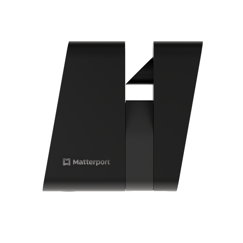
Matterport Pro3
Rent Matterport Pro3 for digital property documentation, virtual tours, spatial walkthroughs and fast visual capture of indoor and outdoor spaces.
Rent Matterport Pro3 →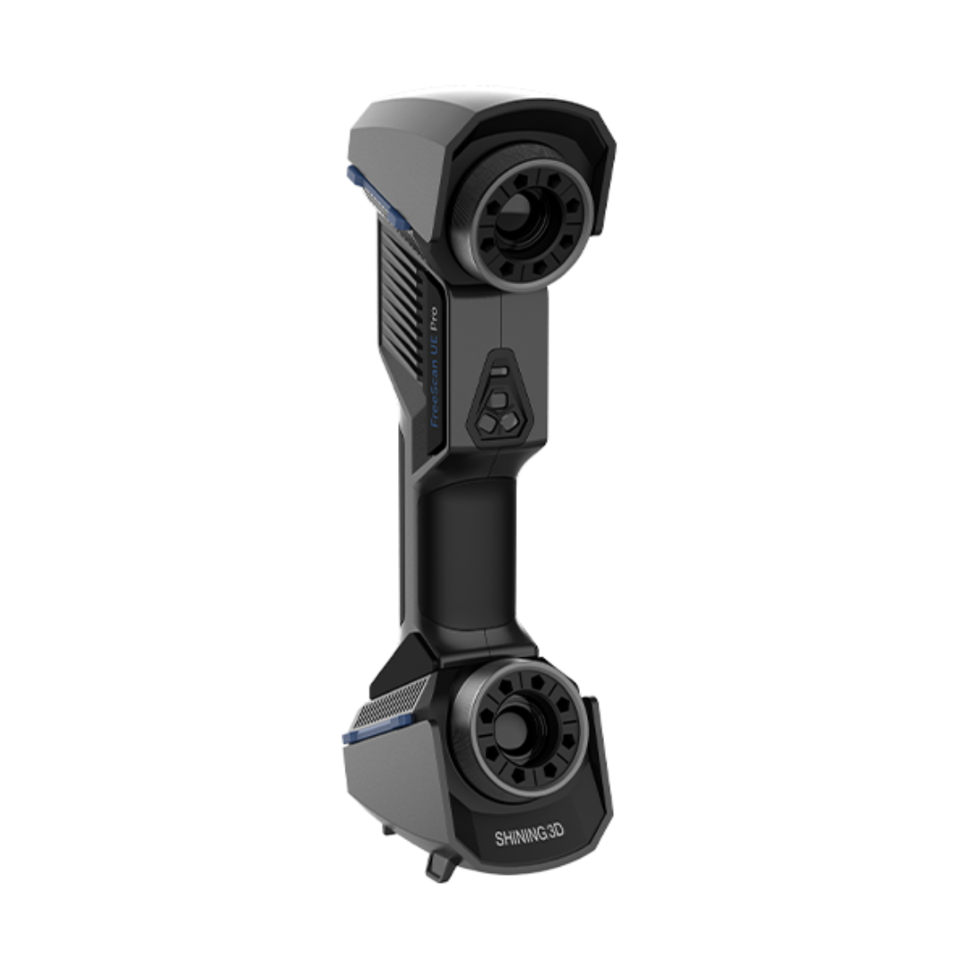
SHINING 3D FreeScan UE Pro
Rent FreeScan UE Pro for portable metrology, detailed part capture, inspection, reverse-engineering and precision 3D scanning workflows.
Rent FreeScan UE Pro →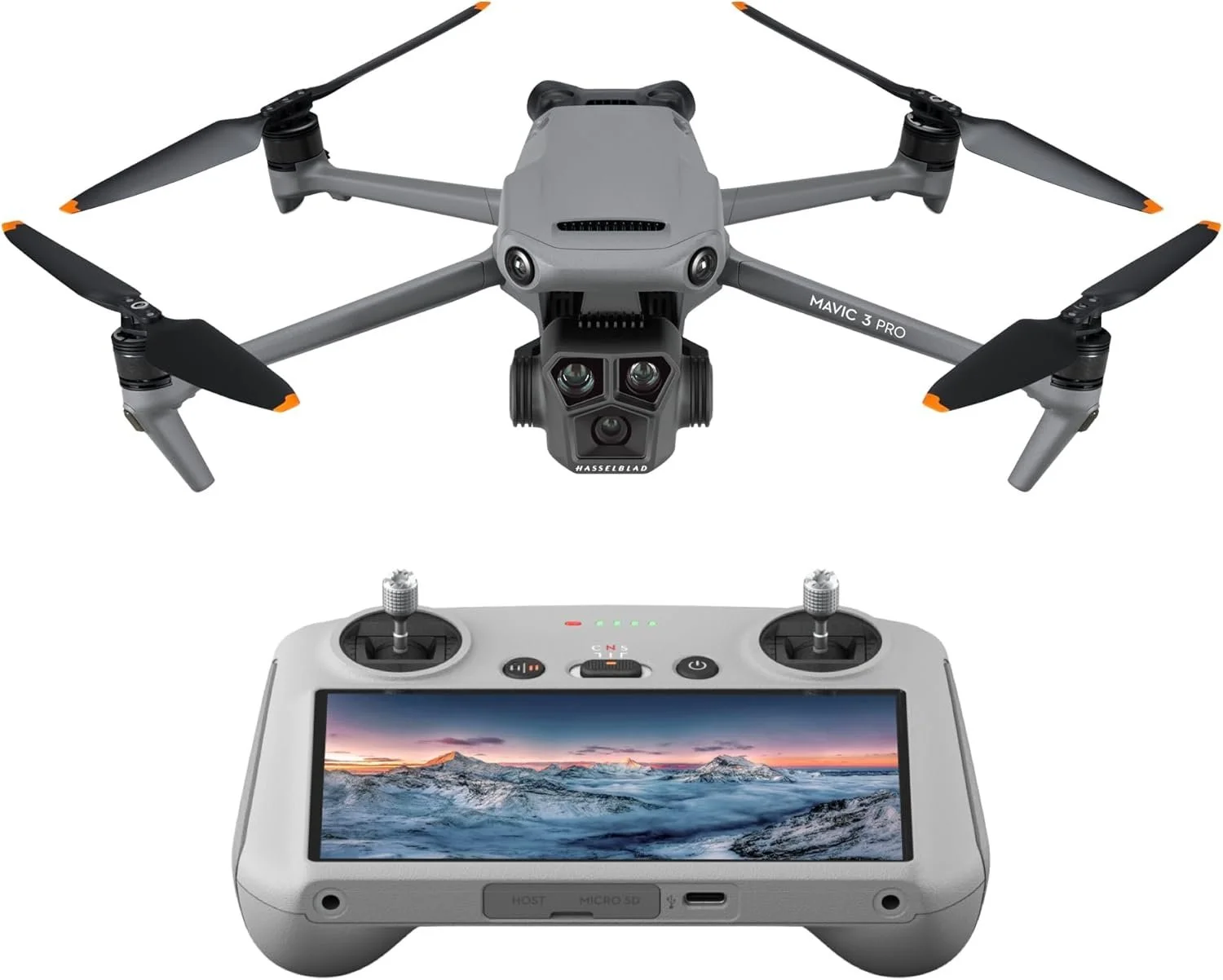
DJI Mavic 3 Pro
Rent DJI Mavic 3 Pro for aerial imagery, site documentation and supporting visual capture where a compact drone platform fits the project.
Rent DJI Mavic 3 Pro →Already know your project dates?
Send the dates, site type, location and equipment request directly to True Point Precision.
Tell us the project.
We’ll help with the tool.
Rental requests work best when True Point Precision understands what you are capturing, the project dates and the deliverable you need at the end.
Share the requirement
Provide dates, site size, indoor or outdoor conditions, accuracy expectations and your expected deliverable.
Select the right system
True Point Precision can help match terrestrial LiDAR, mobile SLAM, spatial capture, metrology or aerial equipment to the task.
Get productive quickly
Confirm accessories, data workflow, shipping requirements and any setup, processing or training support required for the project.
Need help delivering
the project too?
Capture through delivery.
True Point Precision can support the workflow beyond the rental itself, including reality capture, processing, Scan-to-BIM, consulting and training.
Contact True Point Precision →